Birding Around Las Vegas, Ash Meadows National Wildlife Refuge
 Trailhead to Rogers Spring |
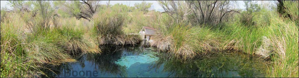
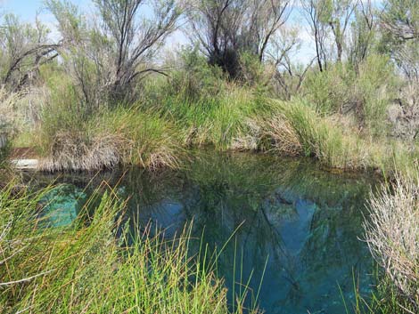
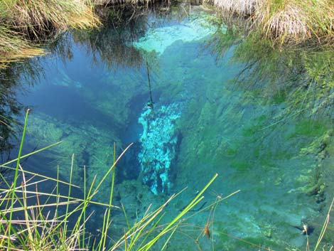
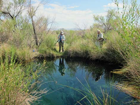
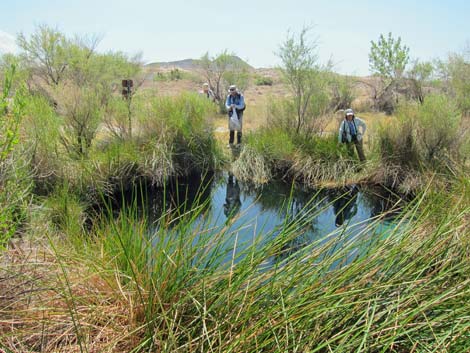
Description Rogers Spring emerges into a deep, clear, 30-foot-diameter spring pool that is surrounded by mesquite, saltcedar, and ash trees, plus lots of shrubs, sedges, and forbs. Out from the edge of the spring, the vegetation quickly changes to mesquite thickets, and then dry desert saltbush. There is a strong outflow that runs west along a cattail-filled ditch, the noise of which makes it hard to hear the birds. Rogers Spring is located in a broad ravine near the base of low hills. |
 Rogers Spring |
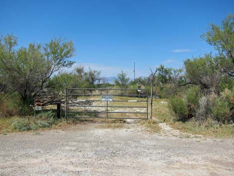
Location Rogers Spring is located on the Ash Meadows National Wildlife, about 2 hours northwest of Las Vegas and about 4.1 air-miles north of the Visitor Center. From Las Vegas, drive out to Ash Meadows Visitor Center (Table 1, Site 1588). From the Visitor Center, drive west on Spring Meadows Road for 0.3 miles to Longstreet Road. Angle right onto Longstreet Road and drive north (actually northwest here) on the well-graded road for about 4.6 miles to Rogers Spring (Site 1297), which is about 1.4 miles north of Longstreet Spring. The Rogers Spring parking area is a wide spot on the west (left) side of the road (Site 591). Watch for a wide spot in the road with trees just before a hard turn to the left. There is a sign here, but you won't notice it before you stop. The spring is a few yards west of the parking area. |
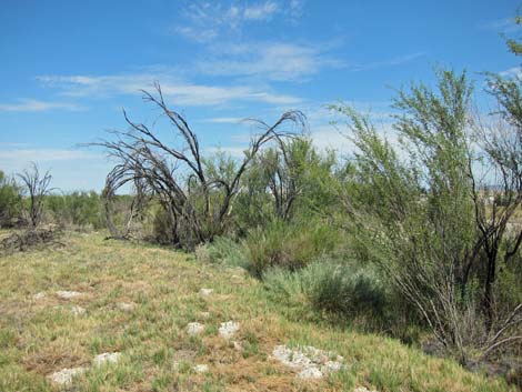
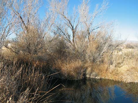
 Shrubs and trees beyond the spring pool |
Hours The refuge is day-use only: open sunrise to sunset. Fees None. |
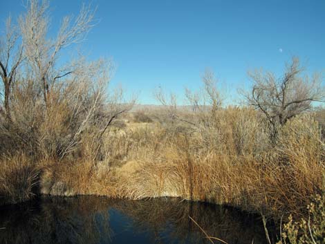
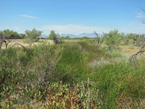 Outflow marsh below Rogers Spring (view W) |
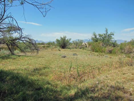
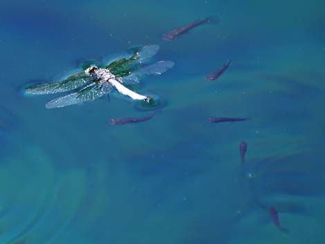
Specialties Rogers Spring is a good place to see desert species when they come in for water. Check the trees and shrubs for finches, sparrows, warblers, quail, Mourning Doves, and similar species. Check the outflow marsh for Marsh Wrens, blackbirds, and swallows. This is a good place to see dragonflies and endemic plants too. Rogers Spring is also good for finding migrant species, but the species mix depends on the season, and during migration it depends on just who is moving through at the time. Review the refuge bird list for some ideas on what to expect during the time of year when you will be visiting. |
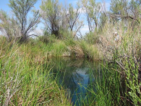 Rogers Spring |
 Inflow |
 Surveying dragonflies with USFWS permits |
 Surveying dragonflies with USFWS permits |
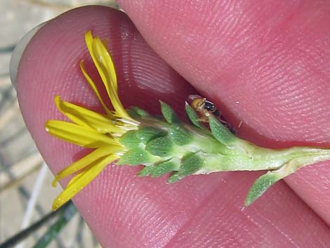 Ash Meadows Gumweed (Grindelia fraxinopratensis) |
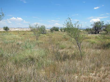
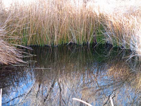
 Vegetation along outflow stream |
 Marsh habitat beyond the Fairbanks gate (view NE) |
 Rogers Spring during winter |
 Rogers Spring during winter |
 Rogers Spring during winter |
 Start of trail (closed road) from Rogers Spring to Fairbanks Spring |
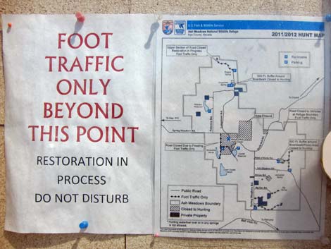 Information sign at Rogers Spring parking |
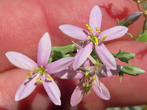 Springloving Centaury (Centaurium namophilum) |
 The circle is closed: predator grows up to become prey |
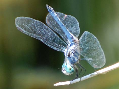 Blue Dasher (Pachydiplax longipennis) |
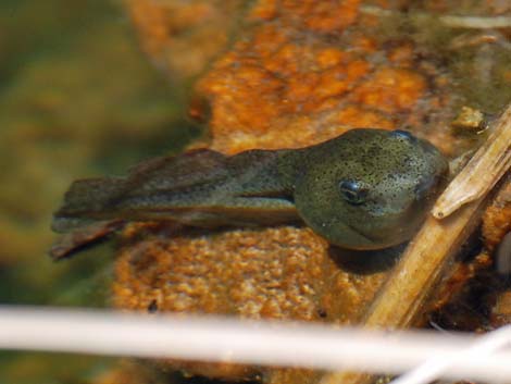 American Bullfrog (Lithobates catesbeiana), tadpole |
Table 1. GPS Coordinates for Highway Locations (NAD27; UTM Zone 11S). Download Highway GPS Waypoints (*.gpx) file.
| Site # | Location | Latitude (°N) | Longitude (°W) | UTM Easting | UTM Northing | Elevation (feet) | Verified |
|---|---|---|---|---|---|---|---|
| 0591 | Rogers Spring | 36.4792 | 116.3253 | 560444 | 4037112 | 2,301 | Yes |
| 1588 | Ash Meadows Visitor Center | 36.42323 | 116.32703 | 560329 | 4030901 | 2,188 | Yes |
Happy birding! All distances, elevations, and other facts are approximate.
![]() ; Last updated 240323
; Last updated 240323
| Birding Around Las Vegas | Southern Nevada Birds | Guide Service | Copyright, Conditions, Disclaimer | Home |