Birding Around Las Vegas, Outside the Las Vegas Valley, Pahranagat Valley
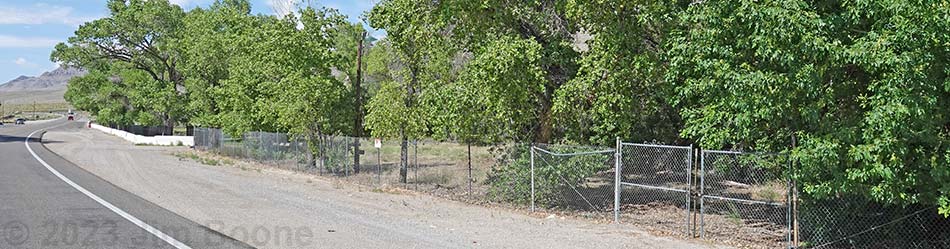
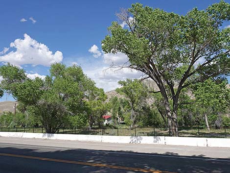
 Birding from the highway (view NE) |
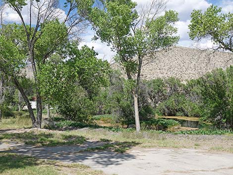
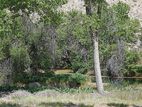
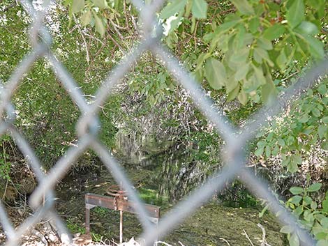
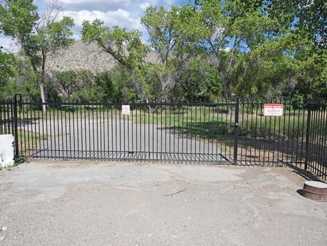
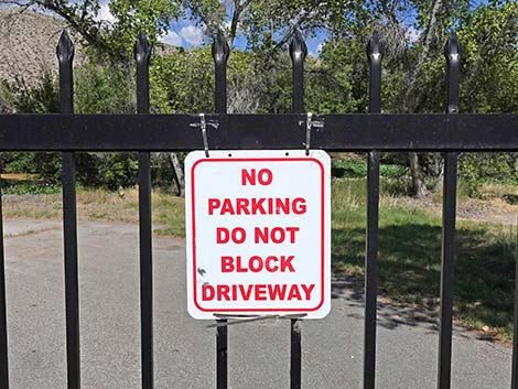
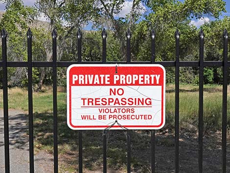
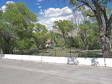
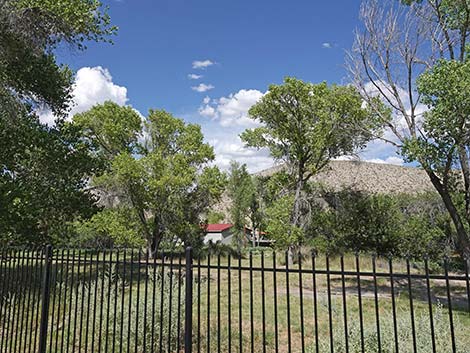
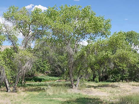
Description Ash Spring is a riparian spot in the desert with water, trees, lots of vegetation, and easy access. Spring waters flow through a riparian area with a long, narrow springpool. Aquatic vegetation, including filamentous algae and emergent species, is abundant during spring and summer. Shoreline vegetation includes grasses, shrubs, rushes, cattails, and trees (including ash, cottonwood, and willow). The swimming area is closed because overuse of the area damaged the infrastructure. Another part of the problem, which is harder to fix, is that a rare fish (White River Springfish; Crenichthys baileyi) [similar to Moapa White River Springfish] lives here, and too many people were doing things like washing with soap and shampoo in the spring pools. Soaps eventually injure the fish, and federal authorities can't allow that to happen. Lastly, part of the property is privately owned. Birding from outside the highway fence is legal. Link to map. |
 Birding from the highway (view NE) |
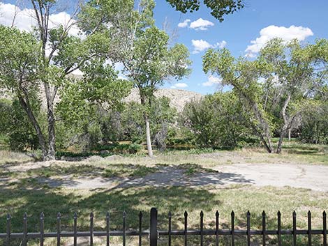
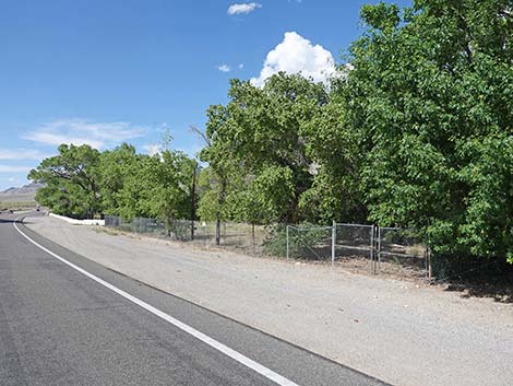
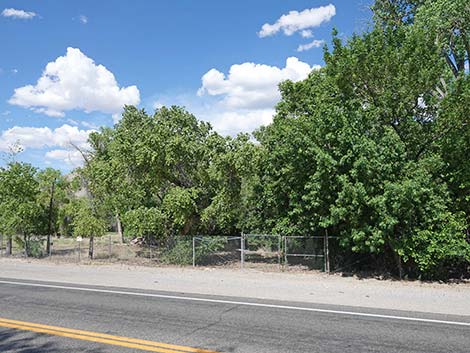
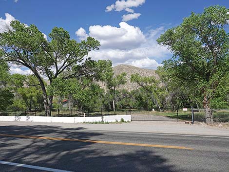
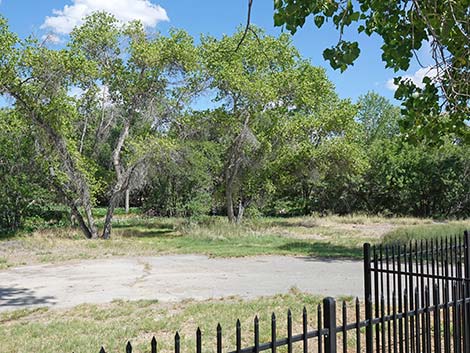
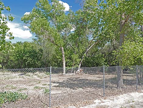
The site has warm, clear water, trees, shrubs, grasses, and aquatic vegetation, all of which is surrounded by the vast Mojave Desert. Like other little spots of green in the desert, this area is a magnet for birds, especially during migration. However, much of this part of the Pahranagat Valley has cottonwoods and other trees, so the birds here are not as concentrated here as they are in parts of the valley farther north. Ash Springs is not a wilderness area. The spring is located in the small town of Ash Springs, the riparian area mainly is on private property, and the site is fenced off with big "no trespassing" signs, but birders can look over or through the fence. This area once was developed as a trailer park, the remains of which still are present. This is a nice little place to stop and bird, but please respect the property owner. In addition, and this is extremely important, this spring supports the White River Springfish (Crenichthys baileyi), a federally endangered species of fish [similar to Moapa White River Springfish]. This species only occurs in the water that emerge from Ash Spring. Be careful here and don't trash the place. |
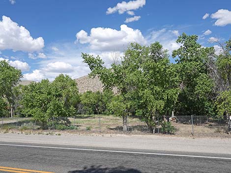
 Birding from the highway (view E) |
Ash Springs is not a destination, but rather one of several birding sites in the Pahranagat Valley to visit as a group or on the way to somewhere else. The site is right along the highway, so be careful of the traffic.Location Ash Springs is located in the Pahranagat Valley, about 102 miles north of Las Vegas. From town, drive north on Interstate 15 to Highway 93. Turn left on Highway 93 and drive north past the town of Alamo (73 miles) to Ash Springs (80 miles). Park on the east side of the highway under the trees, but stay outside the fence (Table 1, Site 444). |
 Birding from the highway (view E) |
Hours Always open, but stay outside the fenced area. Fees None. Specialties This is a good birding area for passerines, especially migrant warblers, wrens, sparrows, swallows, and towhees. Look the endangered fish too, although you are most likely to see the nonnative species that were released into the springs (e.g., convict cichlids, sailfin and shortfin mollies, mosquitofish, bullfrogs, and crayfish). |
 |
 |
 |
 |
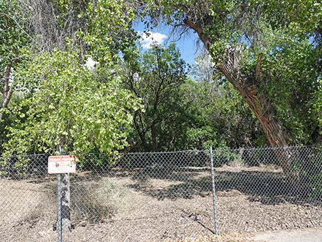
 Please respect private property (view E) |
 Please respect private property (view E) |
 |
 |
 |
 |
 |
 |
 |
 |
Former Swimming Area is closed
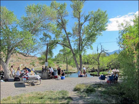 Former Ash Spring swimming area (view S) (closed) |
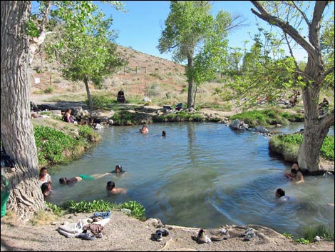 Former Ash Spring swimming area (view S) (closed) |
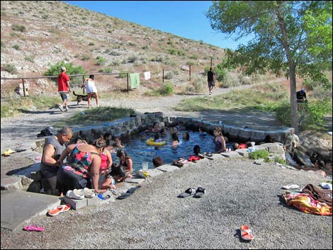 Former Ash Spring swimming area (view SE) (closed) |
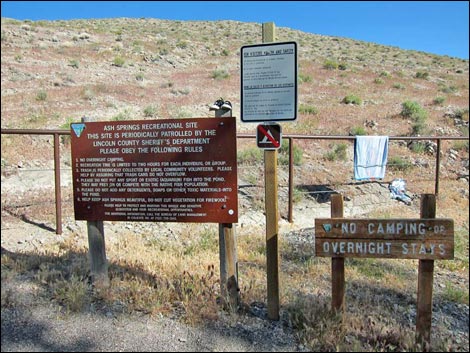 Former Ash Spring swimming area information signs (view E) (closed) |
Table 1. GPS Coordinates for Highway Locations (NAD27; UTM Zone 11S). Download Highway GPS Waypoints (*.gpx) file.
| Site # | Location | Latitude (°N) | Longitude (°W) | UTM Easting | UTM Northing | Elevation (feet) | Verified |
|---|---|---|---|---|---|---|---|
| 444 | Highway 93 at Ash Spring | 37.4609 | 115.1930 | 659818 | 4147331 | 3,700 | Yes |
Happy birding! All distances, elevations, and other facts are approximate.
![]() ; Last updated 240322
; Last updated 240322
| Birding Around Las Vegas | Southern Nevada Birds | Guide Service | Copyright, Conditions, Disclaimer | Home |